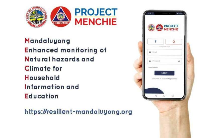
THE City Government of Mandaluyong is proud to be the first city in the country to launch its online natural hazard and climate monitoring system which gives all stakeholders in the city situational awareness of weather, environmental conditions and natural disasters.
Mayor Menchie Abalos announced that Mandalenos can now access the website of Project MENCHIE (Mandaluyong Enhance monitoring of Natural hazards and Climate for Household Information and Education) by simply visiting https://resilient-mandaluyong.org. Anyone who has access to the site can view the Realtime Map which shows the current environment of MandaluyongCity thanks to 70 smart weather cameras installed all over the city that will take snapshots of weather measurments every five (5) minutes every single day.
According to City Disaster Risk Reduction and Management Office (CDRRMO) head Roald Arcangel, data from the smart weather cameras and other equipment of the the City Government, as well as data science from other agencies, will provide the system a localized risk analysis of a barangay, school, or other locations in Mandaluyong. Users can also see on the realtime map a directory of important disaster preparedness and response locations.
The system will give each barangay its own risk analysis by showing the history and current weather condition, air quality, and monitoring of tropical cyclones and earthquake activity. The smart weather cameras can provide anyone a six-hour weather forcast and can tell when it will rain, rain assessment (or intensity), and a color-coded severity assesment in a particular barangay. There’s also a 15-day hourly weather forcast showing different factors such as wind gust, heat index, humidity, temperature, and the chance of rain.
With the Project MENCHIE system, Mandalenos also get access to infomation such as mosquito index, breathing index and leisure travel index so they can prepare themselves before leaving their homes.
“We will also have daily weather videos posted on the site. A weather video update will be posted on 7 a.m. and on 7 p.m. These will also be uploaded on our YouTube channel,” Arcangel said.
And to further equip the public with the right knowledge on disaster preparedness, the site has a section containing information about COVID-19, flood, fire, earthquake, storm surge, and other resources which has been consolidated by the CDRRMO.
PROJECT MENCHIE MOBILE APP
A compact version of Project MENCHIE is also availabe through its own mobile app. It will give anyone access to the MandaluyongCDRRMO Smart Weather Network with a more personalized monitoring experience by adding favorite locations. While the app cannot display other information seen in the website, such as the monitoring of floods in real time, risk summaries will be shown for each favorite location and will provide additional weather forcasts from PAGASA-DOST.
Arcangel said the mobile app of Project MENCHIE is already submitted to Google and Apple. It is currently available for download on Goole’s Play Store (for Android users) while it is still undergoing verification by Apple.
Abalos encourages everyone to get complete climate and natural hazard information by accessing the Project MENCHIE website so they can set extra precautions when going out of the house. “This is one important service that we’ve come up with since everything is going digital right now. Especially now that we have to monitor dengue while there’s a pandemic going on. We must use these Internet of things (IoT) in monitoring floods or stagnant water in every barangay.”

