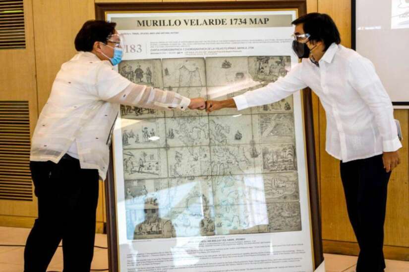
THE City Government of Navotas Wednesday received an official replica of the 1734 Murillo Velarde map from Mel Velarde, President and CEO of Velarde Inc. and Asian Institute of Journalism and Communication.
The Murillo Velarde map is the first scientific map of the entire archipelago, and has been regarded as the “Mother of all Philippine maps.”
Velarde donated replicas of the map to government agencies, academic institutions, and private organizations as part of a public awareness campaign on its significance to Philippine history and culture.
Mayor Toby Tiangco thanked and lauded Velarde, noting that his endeavors are a “strong manifestation of love of country.”
“This map helped us establish in the international court that Scarborough Shoal is ours. The shoal has been a traditional fishing ground of Filipinos, including my family, and we should not allow other countries to claim otherwise,” he said.
The Murillo Velarde map served a crucial role in the Philippines’ case against China at the Permanent Court of Arbitration in The Hague, Netherlands. It showed that Scarborough Shoal – referred to back then as Panacot – has been part of the Philippine territory even centuries ago.
Meanwhile, Cong. John Reynald Tiangco also expressed gratitude to Velarde for his donation.
“I was pleasantly surprised to know that an artist from Navotas-Malabon engraved and printed the map. We are very proud that a Navoteño played a significant role in the creation of this historical document,” he said.

